Overview · Free tool
Current Connection
Geographical view
Your position and the tower you are connected to, side by side on a live map, with every detail of the link between them.
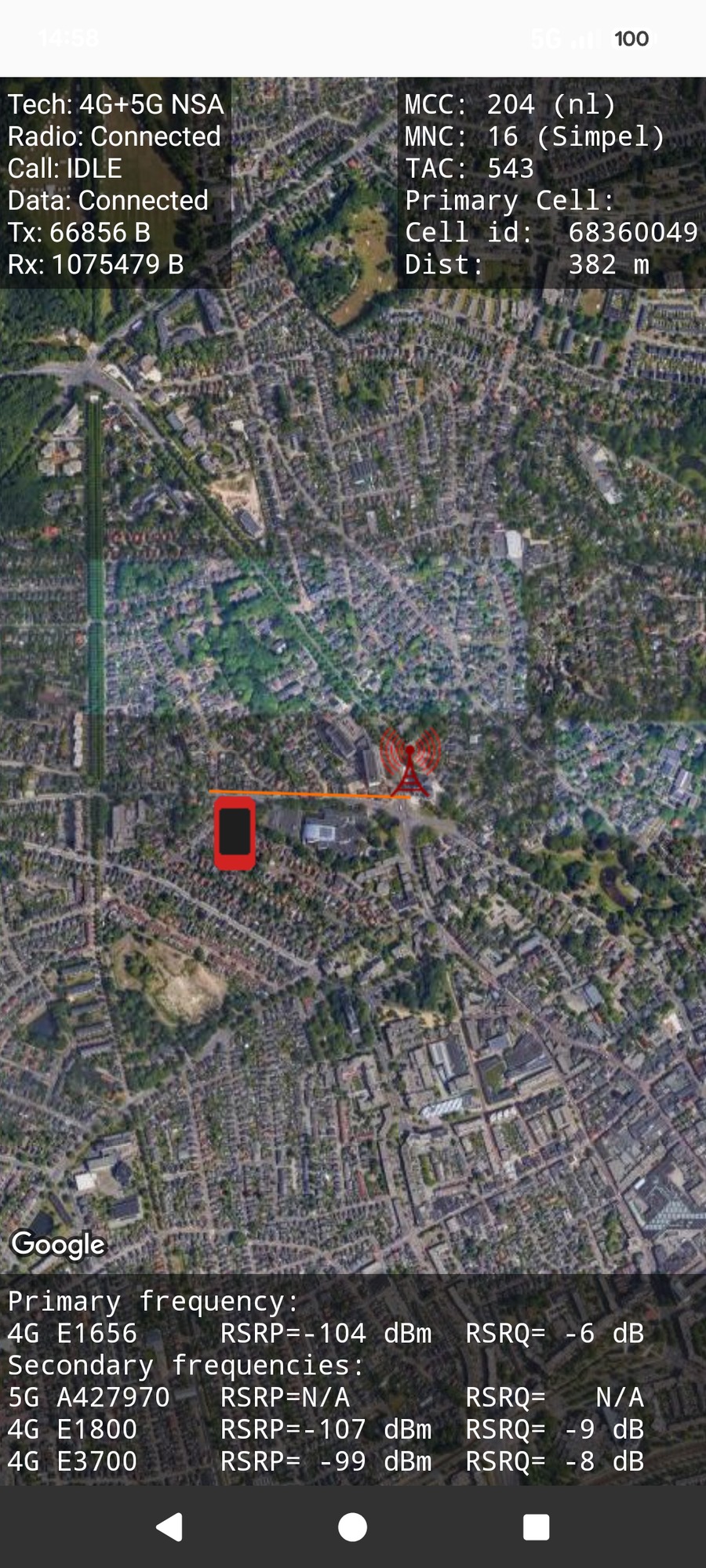
Your position and the tower you are connected to, side by side on a live map, with every detail of the link between them.
The Geographical view places you (the phone marker) and the cell tower you are connected to on the same live map, joined by a line. CNA estimates the tower's location and the distance to it, and colours the connecting line by your signal strength, so a single glance tells you how good the link is and where it comes from.
In the example the phone is 382 m from the tower on a combined 4G+5G NSA connection (an LTE anchor with a 5G carrier). The primary signal is a modest −104 dBm, which is why the link is drawn orange rather than green.
The two panels at the top summarise the connection and the cell; the strip at the bottom lists the frequencies in use. Use the screenshot as your reference throughout.
Every field on screen is listed below. The two info panels sit at the top of the view, the live frequency summary runs along the bottom, and the coloured line on the map is the link from you to the tower.
| Field | Meaning |
|---|---|
| Tech | Radio technology in use. Here 4G+5G NSA (an LTE anchor with a 5G carrier). Also shows plain 2G / 3G / 4G / 5G. |
| Radio | Inferred RRC state: Connected (active channels present) or Idle (camped only). |
| Call | Call state (IDLE when you are not in a call). |
| Data | Data state (Connected / Disconnected). |
| Tx / Rx | Bytes transmitted and received so far. |
| Field | Meaning |
|---|---|
| MCC | Mobile Country Code. Here 204 (nl). |
| MNC | Mobile Network Code, i.e. the operator. Here 16 (Simpel). |
| LAC / TAC | Location / Tracking Area Code. |
| Primary Cell id | The serving cell's identifier. |
| Dist | Estimated distance from you to the tower. |
The bottom strip lists the primary frequency (its technology, (E)ARFCN, RSRP signal level and RSRQ quality) followed by any secondary frequencies, the extra carriers your phone aggregates. In the example the primary is 4G E1656 at −104 dBm, and three secondaries are present: a 5G n1 carrier (whose signal reads N/A here, as many modems do not report the NR level), plus 4G E1800 and 4G E3700. The Spectrum view shows each of these carriers in far more detail; see that page for the full list of per-carrier parameters.
The line from you to the tower is coloured by signal strength, and the tower marker is coloured by network technology:
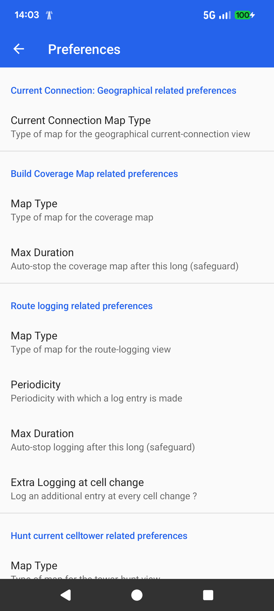
Open Preferences from the three-dot menu on the main screen. Under Current Connection: Geographical related preferences you can choose the map style for this view: Satellite (the default, as used in the screenshots here) or Street.
That single setting is all this view needs; the frequency and connection panels are always shown when your modem reports them.
A quick swipe left shows the same connection from the frequency side, every band and carrier across the downlink and uplink.
📈 Open the Spectrum guide